Old Prospects
Course Developer: Brandon Najera
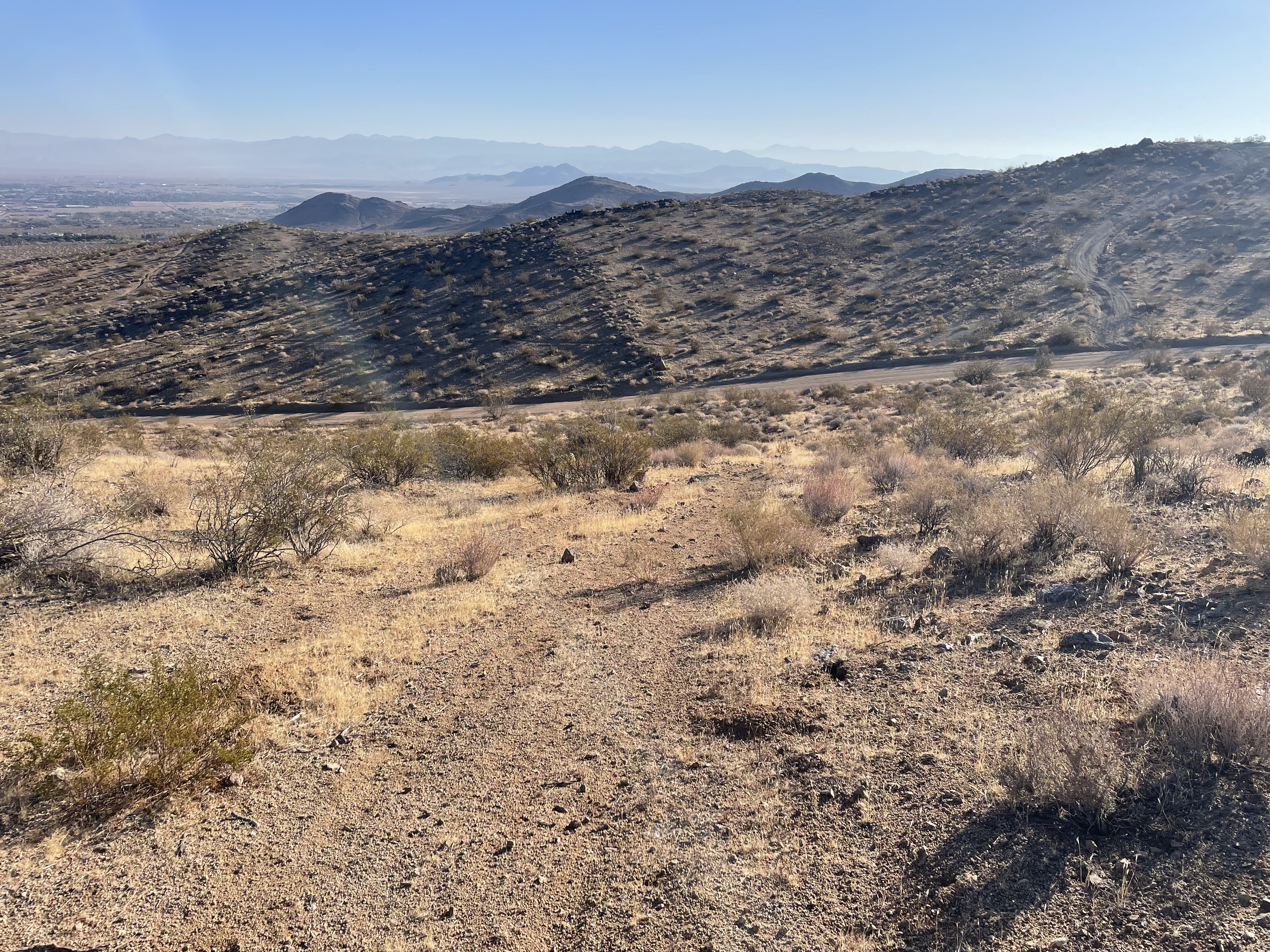
This course is approximately 3.75 miles and has about 550 feet of gain. It's called Old Prospects because of the several small mining claims and prospect holes you pass by on this course. Some of the prospects are more obvious than others.
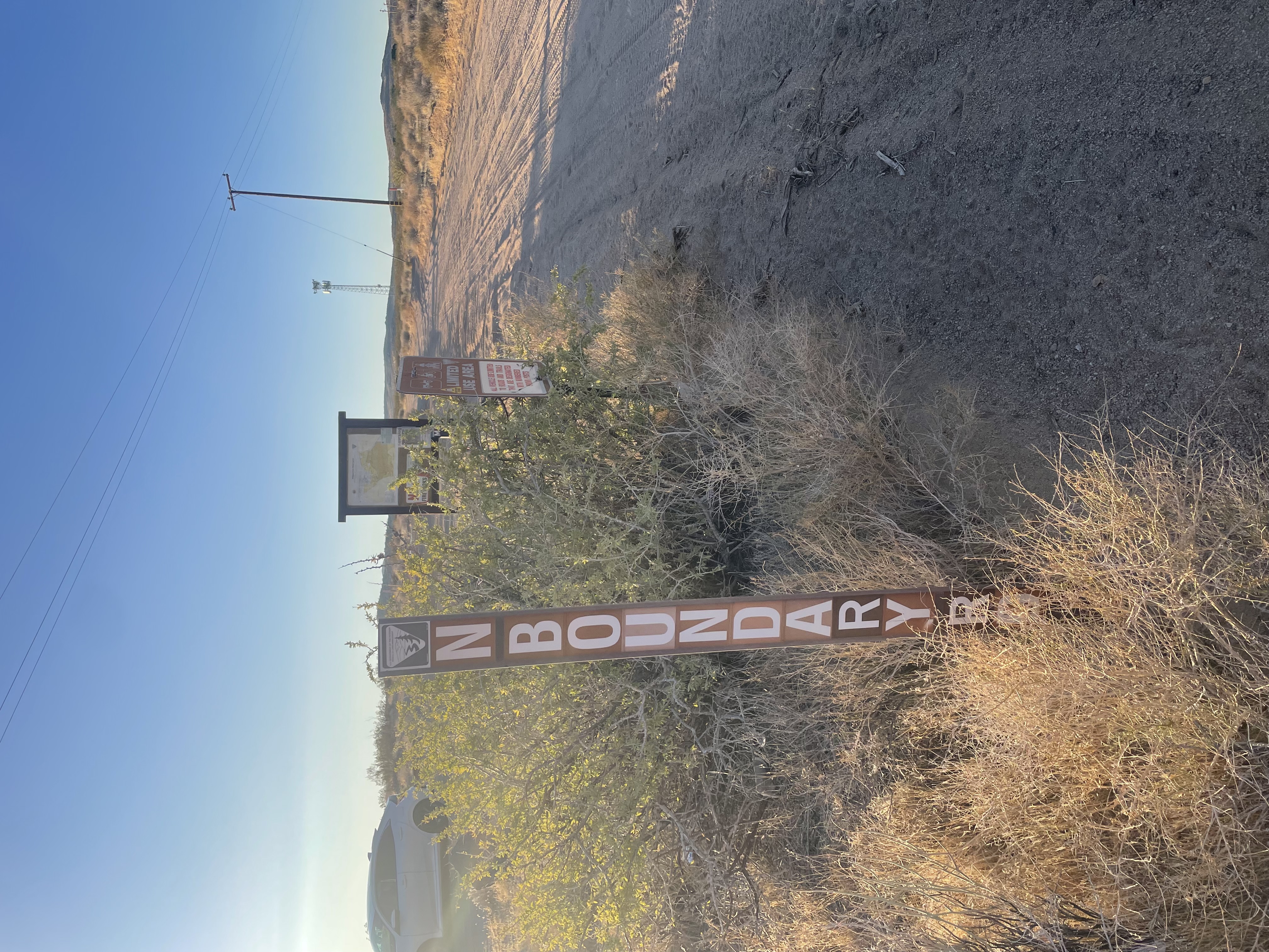
To get to the start of this course, head south out of Ridgecrest on China Lake Blvd and turn left on 395. On 395, pass the Ridgecrest billboard. About 1/4 mile past the billboard, turn left off of 395. You will see a Rademacher Hills trailhead sign. The start line will be the dirt road just behind the trail marker and just left of Boundary Road.
Course Description
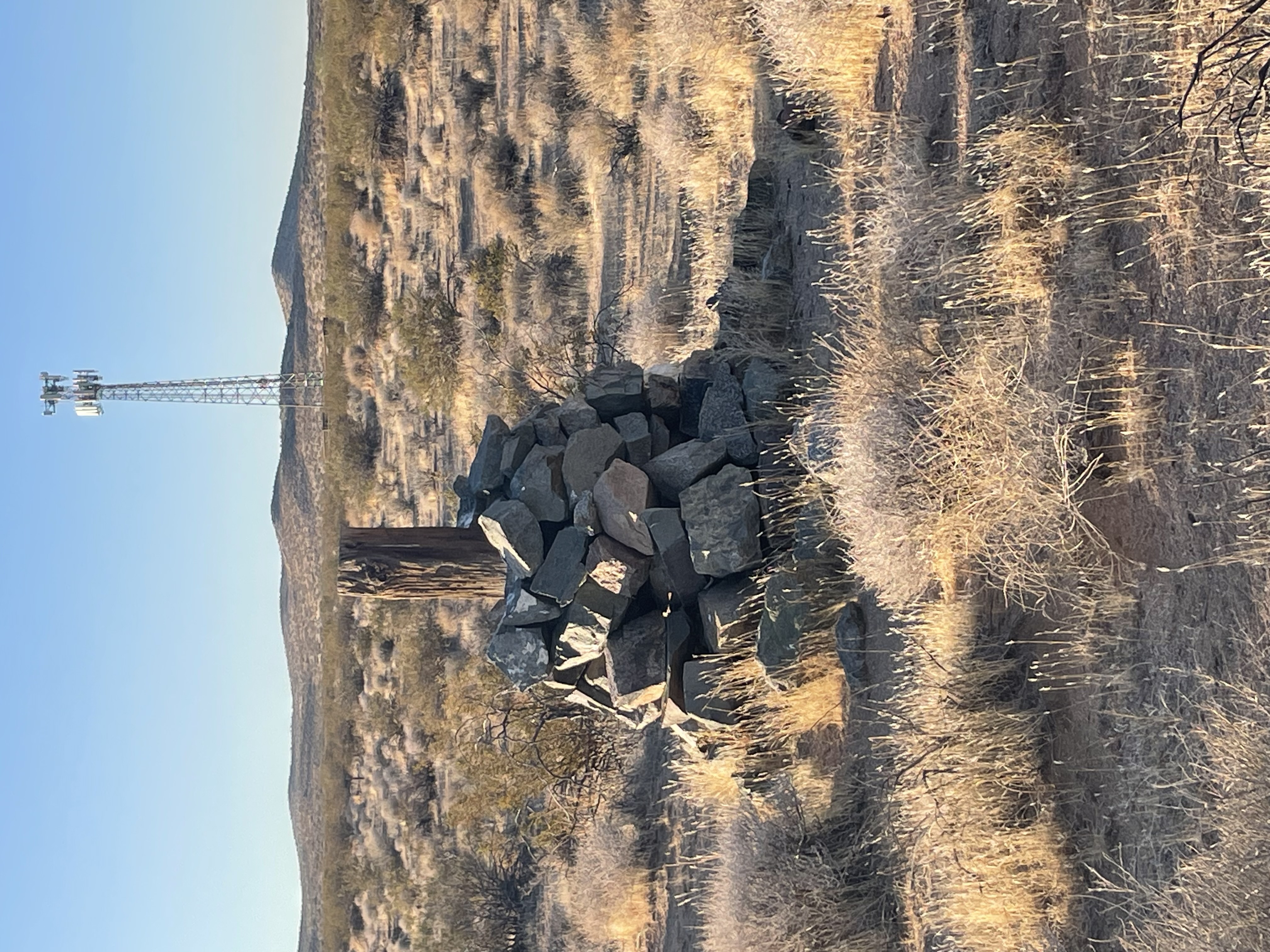
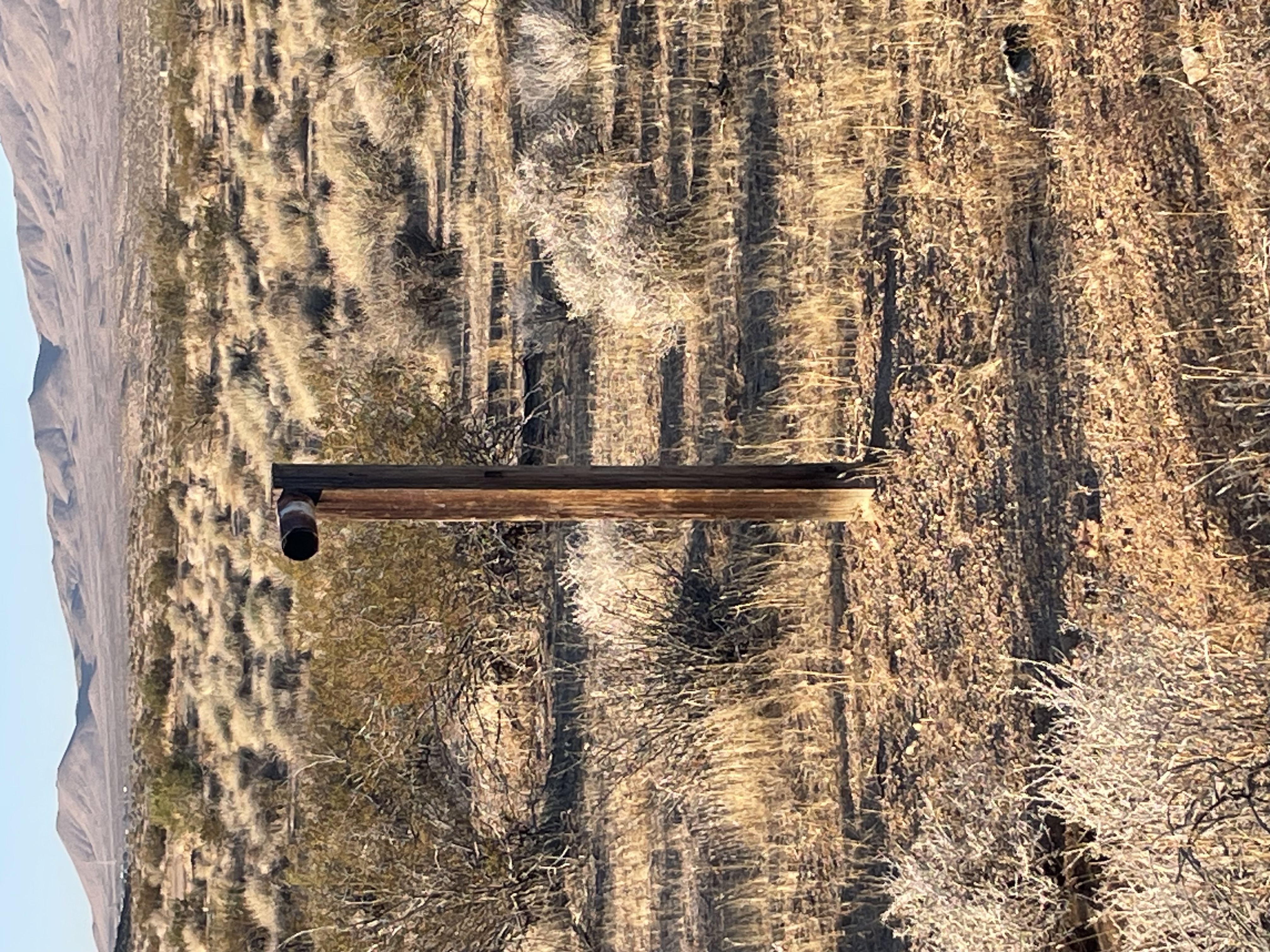
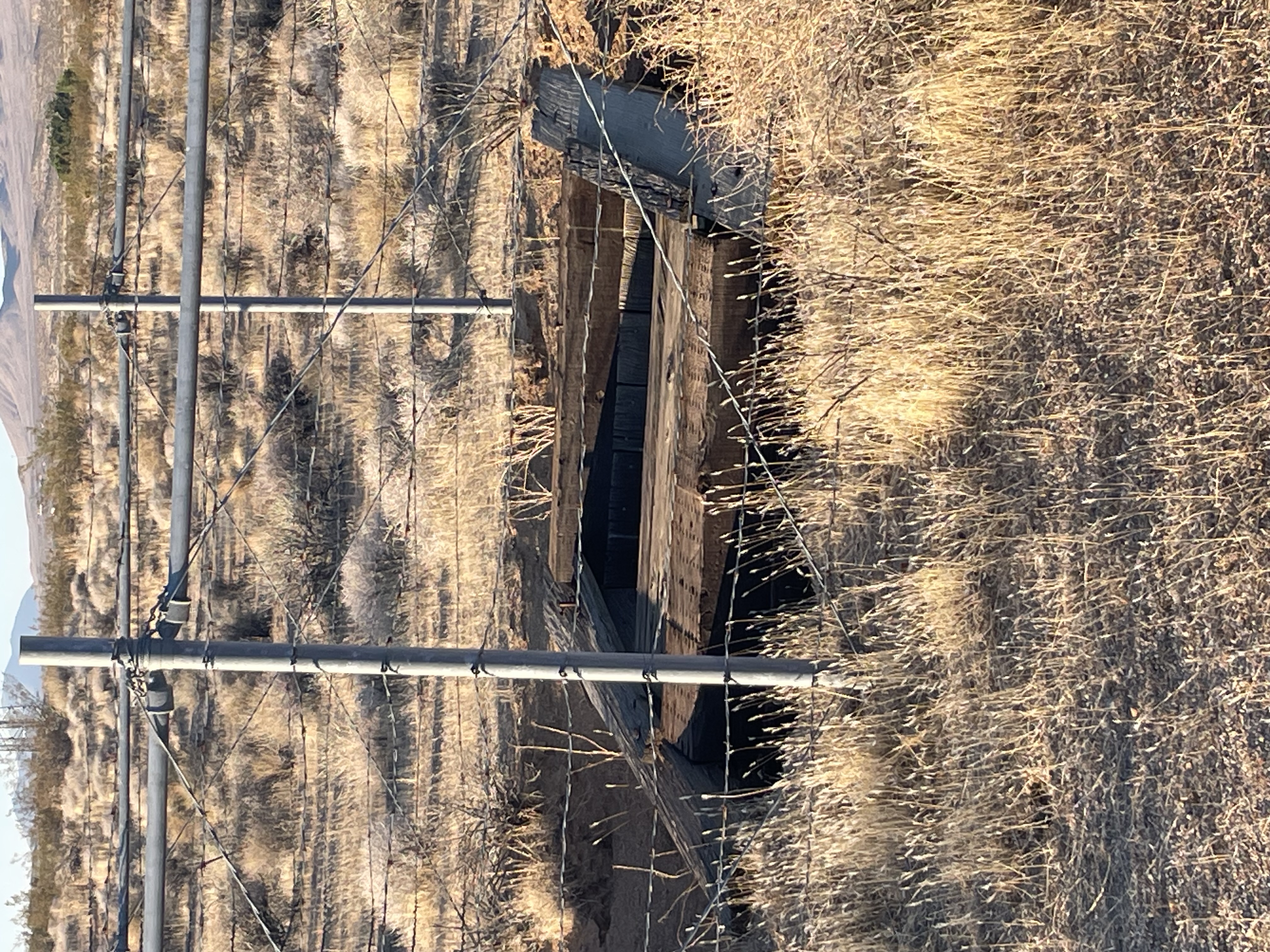
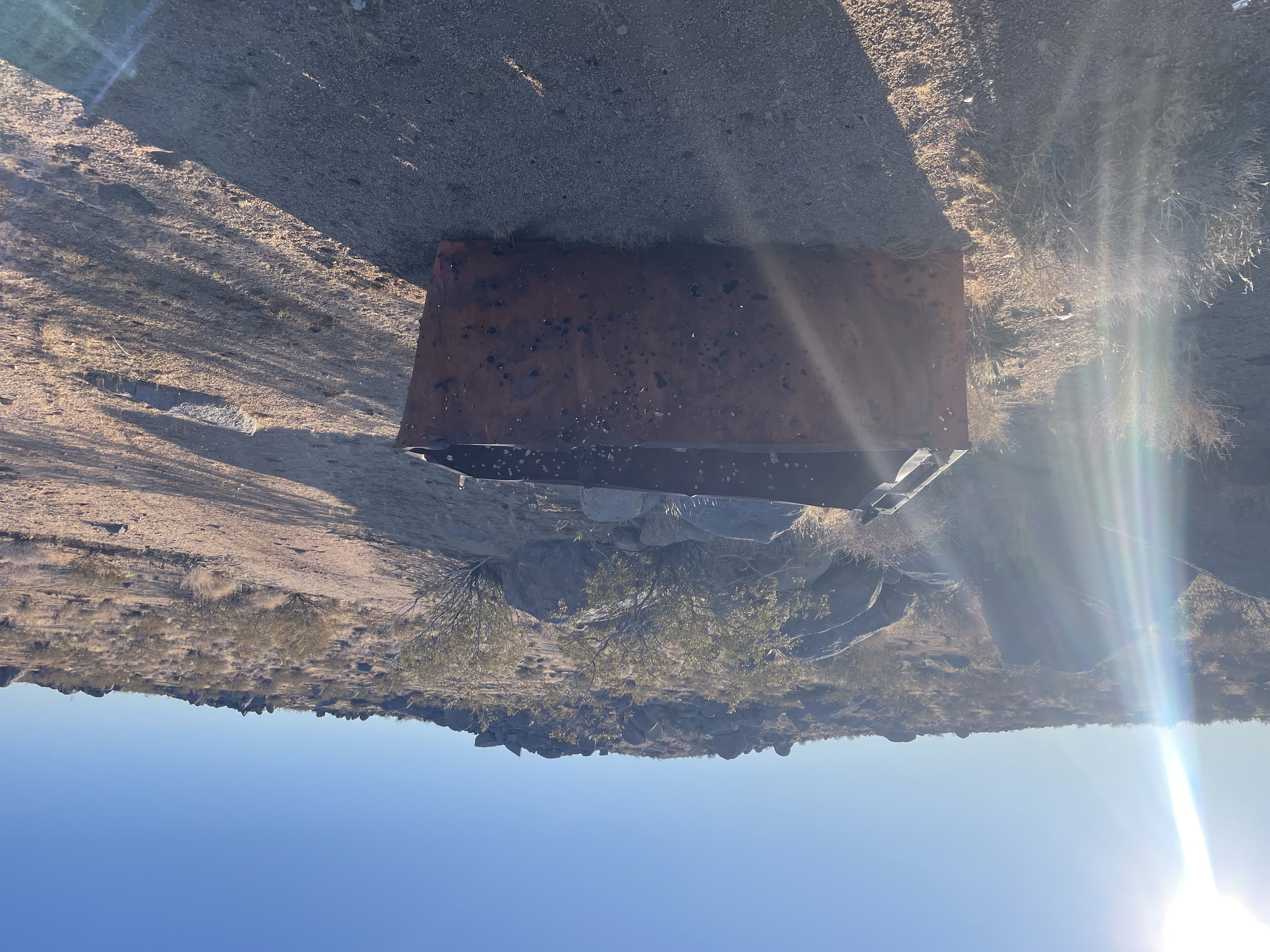
About 100 yards past the start you will see a rockpile with a railroad tie sticking out of it. At about .15 miles, also on the right, you will pass and old down shaft (mine or well). At about 1/4 mile you will cross RC 79, keep going straight onto the bike trail.
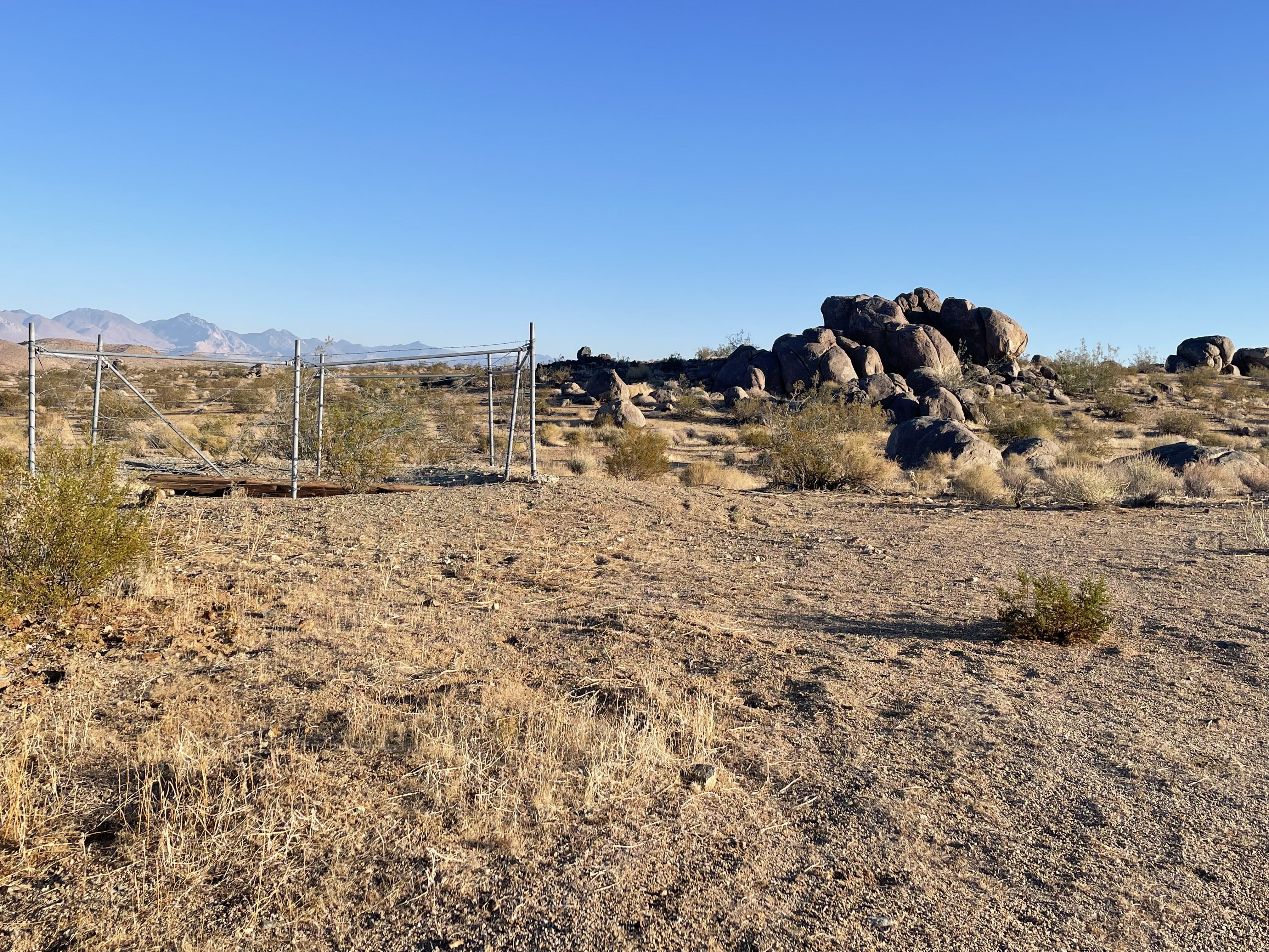
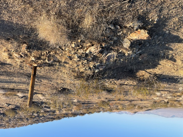
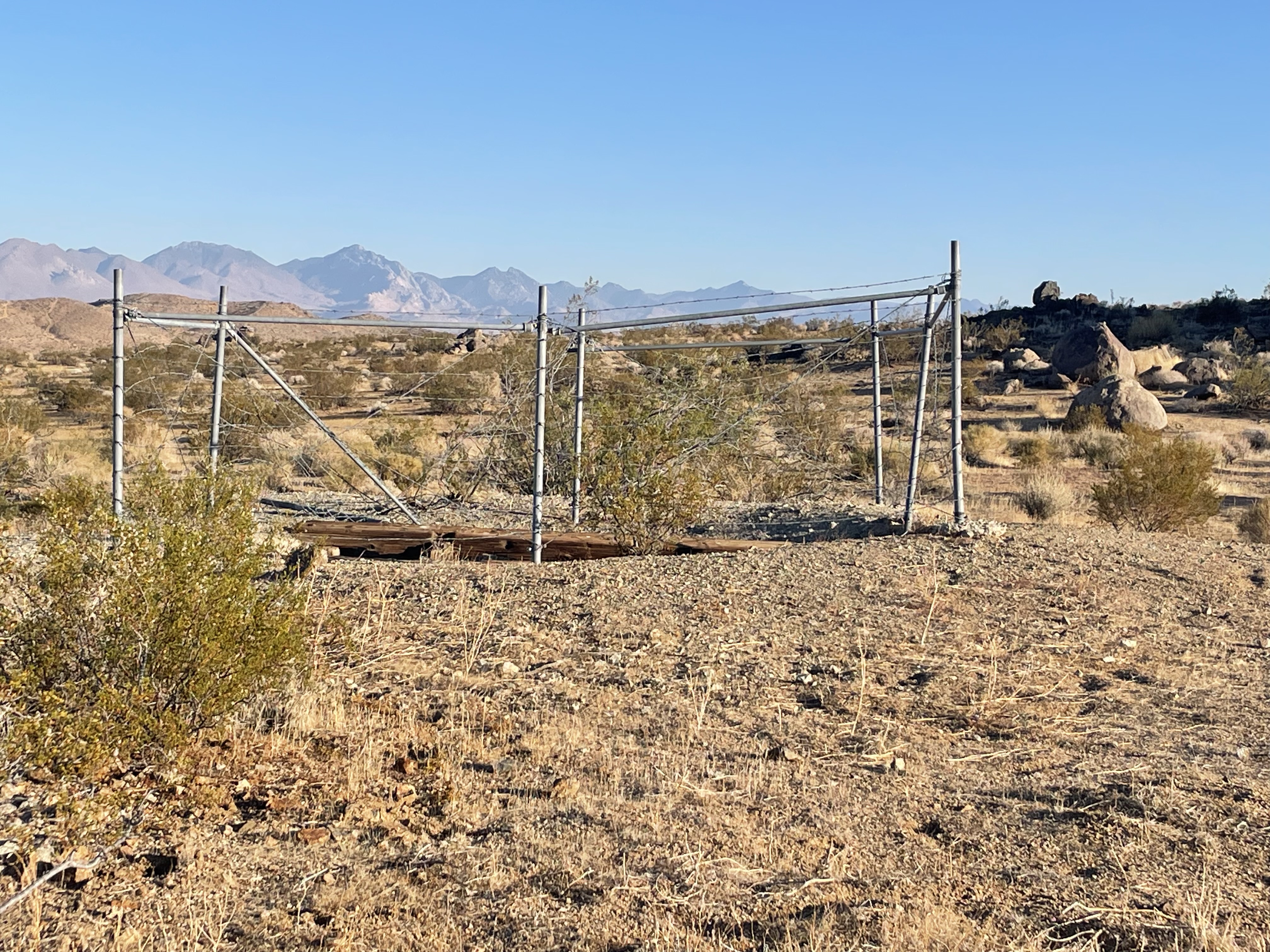
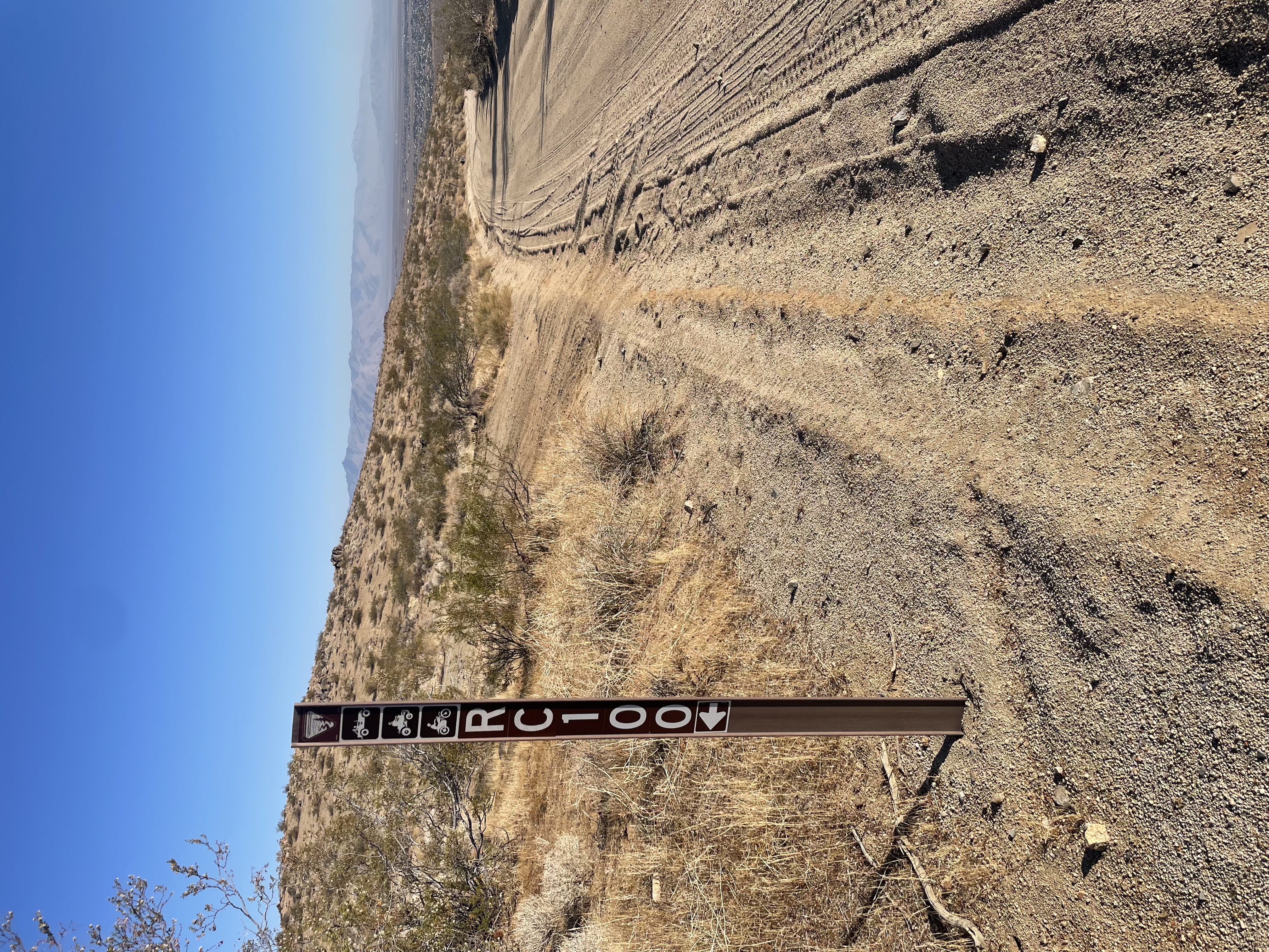
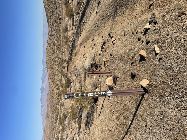
Just before 1/2 mile you will pass another claim marker post and old mining prospect hole on the left. Keep straight. You will soon be skirting around the right side of a hill. You will cross another dirt road. Keep straight. At .8 of a mile, turn left on a dirt road. Soon after, you will see an old fenced off shaft near a big rock pile on your left. Just ahead, stay right at the split onto RC 11. Just past the 1 mile mark, the road curves right and goes past another fenced off mine on your right. Immediately after the RC 11 sign turn right. You will see an old rusty refrigerator. Head uphill about 100 yards and turn left on dirt road RC 100. Just ahead, there are several intersecting dirt roads, stay straight on RC 100. Just before cresting the hill turn right then keep left at the fork in the road. You should be at about mile 1.25. After a few hundred feet turn right on RC 12 then almost immediately, at the fork, turn left and go uphill off of RC 12. You should be on a short but semi steep rocky climb. Just before the top of this rocky section turn hard left onto a single track bike trail, roughly at mile 1.47. After about 100 feet turn left onto a short "cross country" section. Pay close attention to the markings. Once you again reach another bike trail, turn right and crest the hill. You should now see College Heights Blvd (dirt road) directly in front of you. Head downhill and turn left on College Heights. You should now be at about mile 1.6, heading downhill. At about 1.89 turn left at the RC 100 sign post. You are now on a section of the Caballo Blanco loop. Keep straight up a small hill and curve to the right. After a small downhill section the road curves left and uphill. At about 2.17 turn left and go up another short but tough climb. At the top of the hill turn right and head down. Turn right onto RC 9 the keep left on RC 9.
The next part of the course goes cross country. Pay attention to the markings. At mile 2.75, turn left and go cross country up and over a small hill. Follow markers and get back onto a dirt road and turn left at mile 3. It was at this point of the course that a coyote was seen following a desert badger around while out writing the course description. Stay on the dirt road. If you look close, when you crest the top of a small hill, look just at the left side of the dirt road. You will see a quartz vein protruding from the ground, a good indicator that there could be gold in the area. There is a decent sized prospect pit nearby with lots of mineralized rocks strewn around. You will soon come to a fork in the road. Turn right at the fork. At about mile 3.36, turn right onto RC 79. Turn right at the RC 79 marker at about mile 3.55 and trace your steps back to your vehicle.
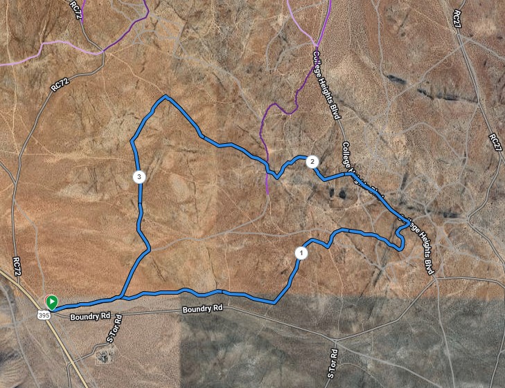
The course map below shows the mile points.

The green buttons will take you to a Course page on Garmin Connect, or a Route on Strava. If you need a .gpx file, you will be able to download that from either of these route pages. You can review the route navigation instructions here.